
San Mateo ZIP Coverage by Area
Four ZIP codes commonly appear in San Mateo-area searches, but they do not carry the same municipal meaning. The first three are the core City of San Mateo delivery areas. The fourth is principally tied to Foster City. A postal label can also appear in county records, institutional records, or data sets that use a broad place name, so a ZIP code directory needs a separate city check before a resident or parcel is assigned to San Mateo.
| ZIP | Areas Covered | Post Office | Notes |
|---|---|---|---|
| 94401 | Downtown, North Central, Shoreview, and east or north-central areas | San Mateo postal city | Core City of San Mateo delivery area; postal lines are not civic or association lines. |
| 94402 | West and central San Mateo, Baywood, San Mateo Park vicinity, and western hills | San Mateo postal city | Some addresses sit near Hillsborough or another city edge; verify the exact parcel. |
| 94403 | South, central, and southeast San Mateo, including Hillsdale, Fiesta Gardens, and Los Prados vicinity | San Mateo postal city | A broad southern delivery area that meets other municipal geographies. |
| 94404 | Principally Foster City and bayside postal geography | Foster City delivery association | Not a general City of San Mateo ZIP; check municipality before using it as a city filter. |
These rows describe a useful starting map, not a complete address roster. USPS decides the preferred city and delivery ZIP for a specific address. San Mateo County GIS and city planning maps answer the parcel and civic questions. A neighborhood or homeowner association may use yet another boundary. Those layers should stay separate when a ZIP code directory is used for family history, a parcel question, or a local geography search.
San Mateo Postal and Civic Geography
“San Mateo” has three common meanings in records. It can mean the incorporated City of San Mateo, San Mateo County, or the USPS place name printed with a mailing address. The county seat is Redwood City, even though the city and the county share the San Mateo name. County assessor, recorder, court, and GIS records can therefore point to Redwood City as the records center while the property itself lies in San Mateo.
Use USPS to confirm delivery. Use a parcel viewer to confirm jurisdiction, APN, and parcel shape. Use city neighborhood and association maps to understand local identity. A mailing line that says San Mateo does not prove that the parcel is inside the city, and a nearby city label does not erase a San Mateo parcel. That distinction matters when a ZIP code directory is used to select the right custodian.
The San Mateo County planning GIS guide shows the parcel-search workflow and the county’s map context.
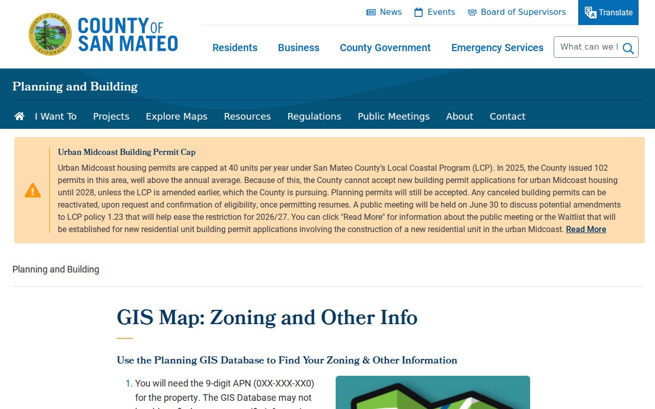
County GIS is informational and approximate, not a survey. The parcel layer helps connect a postal question to the right city or county record, but it does not create a list of everyone at an address.
94401 in Downtown San Mateo
94401 is the ZIP code most closely associated with downtown San Mateo and North Central. It also reaches Shoreview and other east or north-central areas. That mix makes the ZIP useful for a first cut, but too broad for a claim about one neighborhood. Shoreview and North Shoreview are civic geographies identified through city association materials, not postal subdivisions.
For a parcel question, enter the full address in USPS first, then compare the result with city and county GIS. A 94401 result can lead to a San Mateo parcel, an association map, or a nearby edge that needs closer review. Keep the exact street, APN, and municipality together in notes so a ZIP code directory search does not flatten those differences.
94402 Across West-Central San Mateo
94402 covers west and central San Mateo, with Baywood, the San Mateo Park vicinity, and the western hills in its local geography. It may also appear near Hillsborough or another city-edge area. The postal city can remain San Mateo even when a parcel question belongs to a neighboring jurisdiction, so the ZIP alone is not an ownership or residence finding.
Historical research in this area benefits from parcel maps, recorded maps, and the San Mateo Public Library’s California Collection. The ZIP is a modern delivery key. Older deeds, maps, and directories predate ZIP codes and need a street, legal description, or APN instead.
94403 in Southern San Mateo
94403 reaches south, central, and southeast San Mateo. Hillsdale, Fiesta Gardens, and the Los Prados vicinity are useful local reference points. The delivery area is broad and approaches Belmont, Foster City, and other edges, so a ZIP code directory search should not treat every 94403 address as the same neighborhood.
City GIS and association maps add the local detail missing from the postal code. If a search concerns a street segment, parcel, or nearby households, first verify the municipality and then move to an address-keyed record. A ZIP can narrow the task; it cannot answer the whole question.
Why 94404 Points to Foster City
94404 is principally Foster City and bayside postal geography. It is not a general City of San Mateo ZIP. The number appears in San Mateo County searches because Foster City is nearby and some institutions or records use county-level context. Treating 94404 as a fourth general San Mateo city ZIP would put the wrong municipality into a resident, parcel, or public-record search.
When 94404 appears beside a San Mateo reference, verify the exact address in USPS, then check the parcel and city layer. Do not infer a city line from a preferred postal name. No confirmed ZIP realignment date or local PO-box-only ZIP was established in the available research. The safe practice is to describe only the address result returned by the live USPS lookup.
City neighborhood maps provide a local check after the postal check. The San Mateo neighborhood association directory is useful for civic geography, while association boundaries remain separate from both ZIP and parcel title.
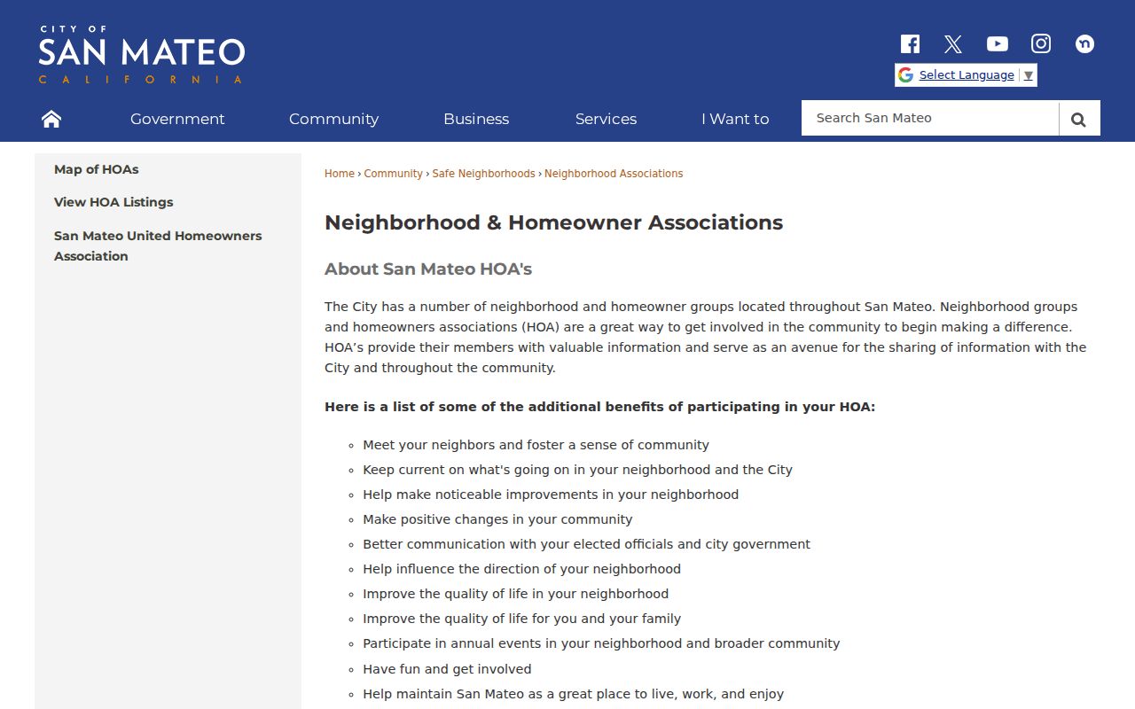
The association map can help explain why two nearby addresses with similar postal labels feel locally different. It is not a substitute for a city boundary or an official parcel record.
Searching San Mateo Residents by ZIP Code
A ZIP code directory search works best as a sequence of checks rather than a ZIP-wide name list. Local official tools documented in San Mateo focus on address and APN searches. The City Customer Self-Service system can search an address or partial address and can use map shapes, while county GIS identifies parcels and layers. The state voter file is not an open street or ZIP browser. It is released only for approved election, scholarly, journalistic, political, or governmental purposes.
- Confirm the full address, preferred city, and ZIP with USPS. Record the returned postal information without treating it as a municipal ruling.
- Open the county Property Information Portal or Planning Viewer and search the address. Save the APN, situs, parcel shape, and active map layers.
- Check the City CSS portal guide for an address, partial address, permit, plan, inspection, code case, or business-license record. A result shows an official association with a project, not every resident.
- Use the city neighborhood and homeowner-association maps to place the parcel in civic geography. Do not use an association boundary as a ZIP or title boundary.
- If the purpose qualifies under California Elections Code §§2188 and 2194, follow the state voter-file request process. Otherwise use the person’s own My Voter Status or My Election Info route.
Once the ZIP narrows the area to a manageable set of streets, the San Mateo street directory supplies the address-first workflow. The street and parcel still need to be checked one at a time because no documented local portal promises a complete ZIP-wide owner or household list.
USPS Fields for San Mateo ZIP Checks
The USPS lookup is the right first stop when a ZIP code directory question turns on delivery. The city/state route can test a place name and state. The address route adds the street, apartment or suite, city, state, and a known ZIP when available. These fields verify postal handling. They do not reveal residents, ownership, association membership, or the city’s legal boundary.
| USPS field | Type | Required | Use |
|---|---|---|---|
| City | text or selection | Yes for city/state lookup | Test the preferred postal city, including San Mateo or Foster City as returned for the address. |
| State | selection | Yes | Choose California before submitting the place or address. |
| Street Address | text or autocomplete | Address route | Enter the complete street string when an exact ZIP is needed. |
| Apt/Suite/Other | text | Optional | Add the unit or delivery detail when it affects the mailing result. |
| ZIP | text | Optional where known | Use a known ZIP to check or narrow the address result. |
| Find or Lookup | button | Yes | Run the postal query and compare the returned address information. |
The USPS ZIP Code Lookup provides the live city/state and address fields used for this check.
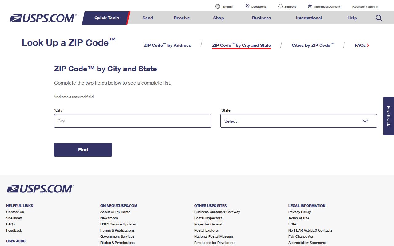
The USPS form is a postal verification tool, not a resident directory. Keep its result beside the parcel and civic checks so a San Mateo ZIP code directory search stays tied to the right geography.
ZIP Codes, San Mateo Limits, and ZCTAs
ZIP boundaries and City of San Mateo limits do not share one shape. A postal route may cross a municipal edge, and a city neighborhood may contain addresses that need a different postal label. County GIS can show the parcel and jurisdiction. The city’s neighborhood and HOA maps add civic context. The postal result remains the authority for delivery, not for title or city membership.
Boundary check. Verify a San Mateo address with USPS, parcel GIS, and the relevant city or county layer before treating its ZIP as a resident or jurisdiction filter.
- ZIP code
- A five-digit USPS delivery area used to sort and route mail. It is not a list of all people who live within a line on a map.
- ZIP+4
- A four-digit extension that can narrow delivery to a segment, building, or other postal unit. It does not change the city or parcel boundary.
- PO-box ZIP
- A ZIP assigned to a post-office-box delivery pattern. No local research finding confirms a PO-box-only ZIP for San Mateo, so an address result should be checked live.
- Unique ZIP
- A postal code assigned to one organization or institution rather than a broad residential delivery area. No local unique ZIP should be assumed without USPS confirmation.
- Carrier route
- An internal delivery route used by the Postal Service. It is narrower than a ZIP code and is not a civic neighborhood or public household roll.
- ZCTA
- A Census approximation of ZIP geography used for statistics. A ZCTA is not a USPS delivery polygon and is not a City of San Mateo boundary.
The city’s HOA listings show another local layer that can clarify community geography.
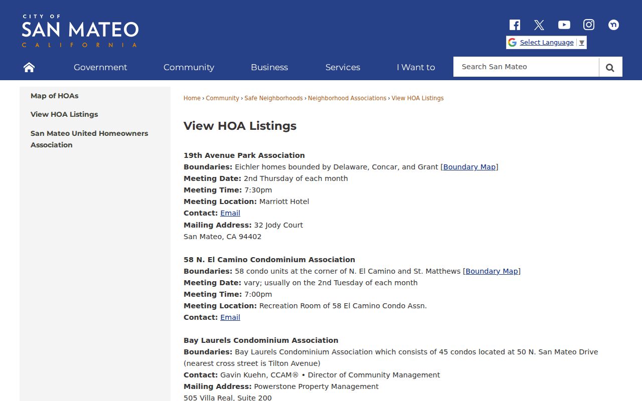
HOA boundaries and contacts are voluntary civic information. They do not prove that an address is inside a ZIP, that a person belongs to a group, or that every household is represented.