
How San Mateo Neighbors Appear by Block
Different records describe different parts of a San Mateo block. GIS shows parcel shape and active civic layers. The CSS map shows permits, plans, inspections, code cases, and business licenses that touch an address or drawn area. Property Maps connect an address or APN to assessor and recorded-map documents. Historical criss-cross books can name listed occupants or subscribers. Voter data and association information have separate legal and privacy limits.
| Source | What It Shows About a Block | Access |
|---|---|---|
| County GIS and Planning Viewer | Parcel outlines, APNs, adjacent parcels, districts, hazards, and map-layer context | Free after the disclaimer; informational and approximate |
| City CSS map | Permits, plans, inspections, code cases, and business licenses intersecting a point or shape | Public search without an account; filters vary by login |
| ACRE Property Maps | Assessor maps, parcel maps, subdivision maps, and neighboring parcel geometry | Free searches and map PDFs by address, APN, book/page, or volume/page |
| Criss-cross directories | Historical listed occupants or telephone subscribers in street-number order | Institutional or library access; local run covers 1976-1995 |
| Qualified voter-file request | Eligible voter fields and participation data within an approved purpose | Application, required identifiers, fees, and security duties |
| Neighborhood and HOA listings | Civic boundaries, voluntary contacts, and meetings when published | City map and list; no promised membership roster |
An APN or parcel outline does not equal an occupied home. A deed identifies recorded parties, a permit identifies people connected to a project, and a criss-cross entry identifies a published subscriber or occupant. None necessarily includes relatives, roommates, guests, people not named in title, or every household member. Use the source role as the label beside each neighbor clue.
San Mateo Neighbors Across Three Boundaries
A block can have a postal identity, a city or county jurisdiction, and a civic association boundary that do not match. ZIP 94401 reaches downtown, North Central, and Shoreview. ZIP 94402 covers west and central San Mateo, Baywood, the San Mateo Park vicinity, and the western hills. ZIP 94403 reaches southern and southeastern areas, including Hillsdale, Fiesta Gardens, and the Los Prados vicinity. ZIP 94404 is principally Foster City and is not a general City of San Mateo ZIP.
For neighbor research, verify those layers in order. USPS answers delivery. Parcel GIS answers the site and jurisdiction. The city’s neighborhood and homeowner-association map answers a civic question. Association boundaries are not title lines or ZIP boundaries. They can help identify the right community contact, but they cannot establish that a particular person belongs to a group.
This three-part check is useful when a San Mateo neighbor question sits near Hillsborough, Foster City, Belmont, or the county edge. “San Mateo” may mean the city, San Mateo County, or a postal place name. Record which meaning applies before comparing adjacent parcels.
Map San Mateo Neighbors Parcel by Parcel
The adjacent-parcel process starts with one verified address and moves outward. The County Planning Viewer and Property Information Portal are useful for the map layer, while ACRE Property Maps supplies the recorded-map route. The public documentation does not promise that every clicked parcel will display an owner name online, so an owner trail must be confirmed through the official assessment or recorded-document route.
- Search the target address in the County Planning Viewer. Accept the map disclaimer, zoom until parcel outlines are clear, and locate the target parcel.
- Single-click the target parcel to open Map Tips. Use the right arrow to move through information from the active layers.
- Write down the target APN and situs address, then click the neighboring polygons one at a time. Keep a separate row for each adjacent APN.
- Open ACRE Property Maps for assessor or recorded-map links. Use the legal description and parcel map to test whether a small gap, corner, or shared line is really adjacent.
- For any recorded owner clue, search the ACRE party index or order the relevant instrument. Do not turn a deed party into a claim about every person at the property.
- When the question expands from the immediate block to a named street, use the San Mateo street directory workflow and its address-keyed records.
The result is a parcel list with source labels, not a roster of all San Mateo neighbors. That distinction protects accuracy and prevents a map click from being mistaken for a household finding.
Draw San Mateo Neighbors in CSS
San Mateo’s Customer Self-Service portal guide adds a spatial way to search project records. Choose Search, then Permit. Related categories cover Plans, Inspections, Code Cases, and Business Licenses. Address, date range, permit number, and parcel number can narrow the record set. An address or partial address is often the best starting point when the block has many parcels.
- Draw to apply
- Use a map shape to set a search area before running the criteria.
- Draw to search
- Use the shape to populate the criteria pane with addresses touched by the shape.
- Point
- Test one location or parcel vicinity.
- Line
- Trace a street segment or block face.
- Polygon
- Enclose an irregular block or group of parcels.
- Circle
- Mark a round area around a point when a simple radius-like shape fits the question.
Public searching does not require an account, but logged-in and logged-out filters differ. A CSS result may show an address, APN, permit status, inspections, contacts, or project chronology. It does not prove that a contact lives nearby. No official radius or buffer export was confirmed, so record the shape and query date if the result must be checked later.
San Mateo Neighbors and Association Contacts
The City of San Mateo publishes a neighborhood association directory and boundary maps. The list is a civic contact layer. It can point to a group’s published email, phone, website, meeting information, or mailing route when the group has supplied one. It does not promise a member directory. Contact a group through the public channel it chose to publish, and do not infer membership from an address.
| Association | Geographic use | Public contact route |
|---|---|---|
| Borel | Use the current city association map for its boundary. | City listing and group channel where supplied. |
| Central | Roughly 4th-9th Avenues from Amphlett Boulevard to Railroad Avenue. | City listing and group channel where supplied. |
| Clearview Homeowners-San Mateo Woods | Civic association geography, not parcel title. | City listing and group channel where supplied. |
| District 1 San Mateo Community Association | Broad north and west-central area; check the current map. | City listing and group channel where supplied. |
| Fiesta Gardens | East of Delaware, south of 19th toward the Expo Center and 101. | City listing and group channel where supplied. |
| Gramercy-Mounds El Cerrito | Use the city boundary map rather than infer a line. | City listing and group channel where supplied. |
| Hacienda | Use the current city association map for its boundary. | City listing and group channel where supplied. |
| Harbortown | Use the current city association map for its boundary. | City listing and group channel where supplied. |
| North Central | From 4th Avenue to Burlingame and Highway 101 to San Mateo Drive. | City listing and group channel where supplied. |
| North Shoreview | Use the current city association map for its boundary. | City listing and group channel where supplied. |
| Parrott Park | Use the current city association map for its boundary. | City listing and group channel where supplied. |
| San Mateo Park | Between Hillsborough, Barroilhet, El Camino Real, and Engle. | City listing and group channel where supplied. |
| San Mateo United Homeowners Association | Umbrella civic layer; confirm the member group separately. | City listing and group channel where supplied. |
The association map was refreshed in March 2025, making it a recent official civic overlay. A boundary can help a person find a community meeting or contact route. It cannot establish who lives on a block, who owns a parcel, or which ZIP the Postal Service assigns.
California Voter Status for San Mateo Neighbors
My Voter Status and San Mateo County My Election Info are designed for an individual to check registration, representatives, ballot information, or vote-by-mail tracking. The lookup uses identifying information such as first name, last name, date of birth, and, where requested, a California driver license or state ID detail or the last four digits of a Social Security number. These fields authenticate a person’s own request. They do not support casual browsing by block or ZIP.
The California voter registration page explains the personal status route and confidential-registration protections.
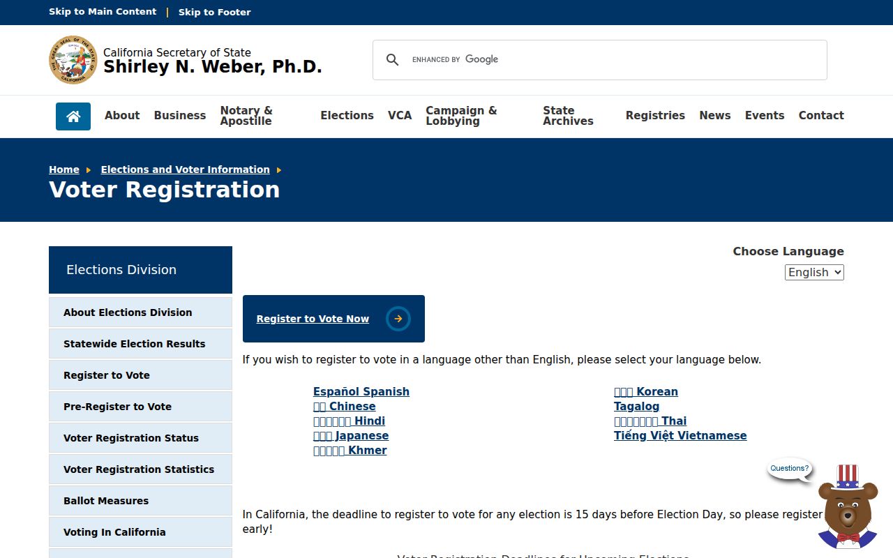
Even a voter status result is a registration clue, not proof of current occupancy. Status can change after a move, returned mail, list maintenance, death, a duplicate record, or a request. “Inactive” does not by itself show that a person left a San Mateo address.
San Mateo Neighbors and Voter Data Rules
California Elections Code §§2188 and 2194, together with related regulations, limit voter-file release to election, scholarly, journalistic, political, or governmental purposes. A statewide file request costs $100 and may include voter history or political-district data. A specific-voter request can cover up to ten named voters, requires full name, date of birth, county, and residence address for each, and costs $30 per voter up to a $100 cap. County-specific fees can vary.
The California voter-file request instructions require a stated purpose, scope, delivery choices, payment, certification under penalty of perjury, and data-security duties.
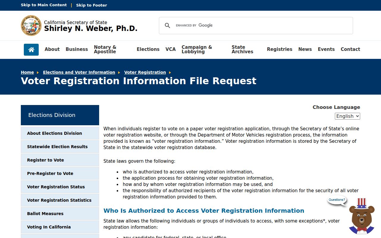
Released fields can include name, residence or mailing address, registration status and date, party preference, precinct, districts, and participation history. Driver-license and Social Security identifiers, signatures, and protected-voter information are withheld. Commercial use is prohibited. A qualifying file request is not permission to publish a block roster.
San Mateo Neighbor Clues From Business Records
Fictitious Business Name filings and California bizfile records can explain a business connection near a block. The County FBN search supports criteria such as document number and filed-date range. State bizfile search can return entity name and number, formation or registration date, status, jurisdiction, street and mailing addresses, agent information, filing history, and recent PDFs. A business address is a commercial clue. It is not proof that an owner, agent, officer, or registrant lives at that address.
The San Mateo County FBN search is the direct route for a local trade-name filing.
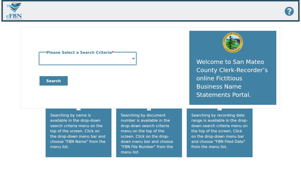
Use a filing to identify the business role and document date, then corroborate a person with a parcel, directory, court, or other record that has the same name and address context. Do not turn a business filing into a residential neighbor claim.
San Mateo Neighbor Records Versus Commercial Categories
Official and commercial sources answer different questions. An official record has a named custodian, a defined field set, and an access rule. A commercial category service may combine licensed data, public filings, phone matches, and marketing sources. It can be stale or conflate people, and it may lack a direct correction path. Use the comparison to decide what deserves verification.
| Source type | Useful strength | What it cannot establish |
|---|---|---|
| GIS and Property Maps | Parcel shape, APN, map links, and civic layers. | Every occupant, household member, or current owner name on every click. |
| Recorder and assessment routes | Recorded party, title instrument, assessment or mailing clue when disclosed. | Residence by every deed party or a complete neighbor roster. |
| CSS permits and code cases | Project address, status, inspections, and listed contacts. | Occupancy or a finding that an allegation was sustained. |
| Qualified voter data | Specified registration fields for an approved purpose. | Casual block browsing, ballot choices, or protected voter locations. |
| Commercial category services | Possible lead across several data sources. | Custodian-level accuracy, a complete household, or a lawful basis for misuse. |
For a neighbor question, start with the parcel and label each later result. A commercial lead can suggest a spelling or source to check, but an official custodian must support the final fact.
Privacy Limits on San Mateo Neighbors
Names of people who are not on title, relatives, roommates, utility customers, delivery records, and other household details are not enumerated by the public parcel map. DMV personal data is restricted by federal and state law. Voter records have purpose limits. Court, adoption, juvenile, sealed, and investigatory material can be withheld or redacted. Neighborhood groups publish voluntary contact channels, not guaranteed membership rosters.
California Safe at Home gives eligible participants a designated substitute mailing address and confidential mail-forwarding services. Protected voter registrations are excluded or specially controlled. The Safe at Home privacy guidance explains the program’s route.
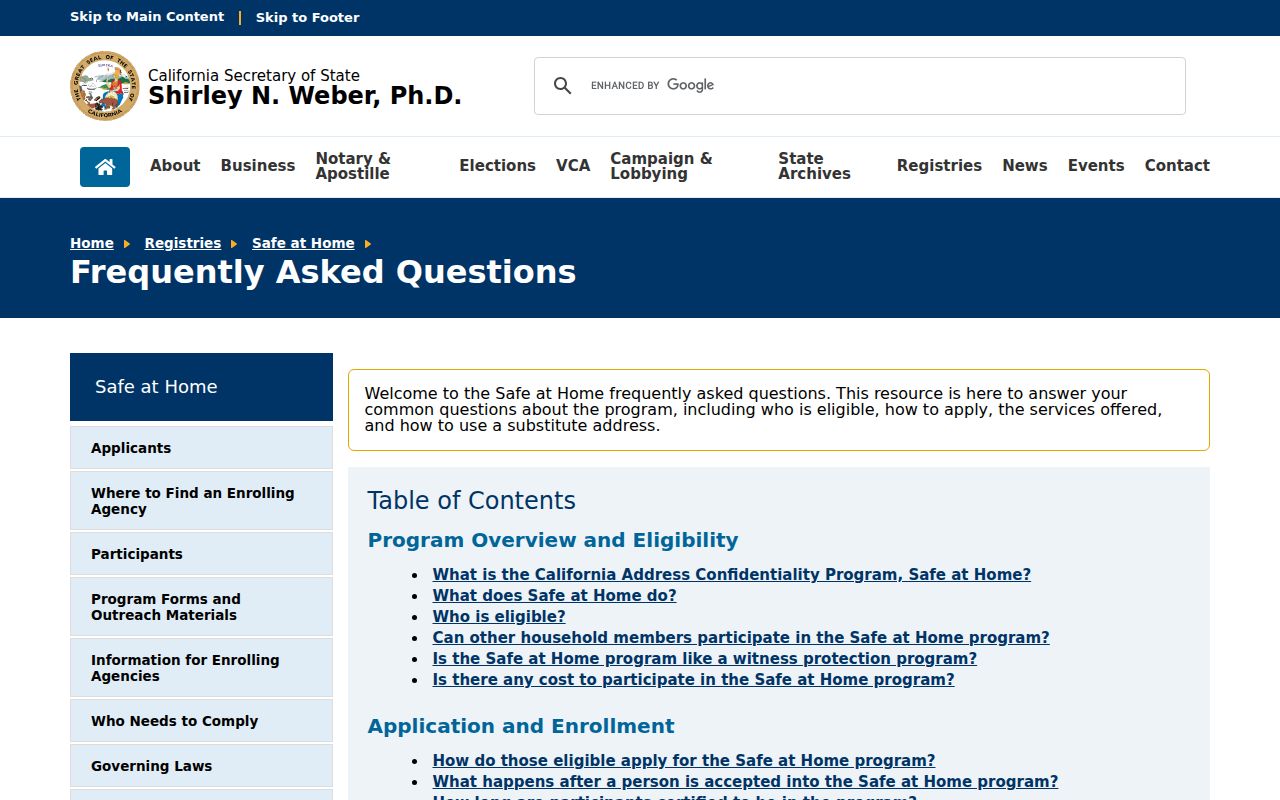
A protected address may not appear where an ordinary parcel or voter search would suggest it. Absence is not evidence that a person is absent from the block.
Lawful use. San Mateo neighbor research is appropriate for getting to know a block, reconnecting, family history, civic participation, and personal safety awareness. Do not use public records to stalk, harass, intimidate, impersonate, or harm anyone.
Stop when the source cannot lawfully answer the question. A precise parcel map and a well-labeled civic contact are more reliable than an unverified name list, and respecting Safe at Home or another confidentiality program is part of accurate neighbor research.